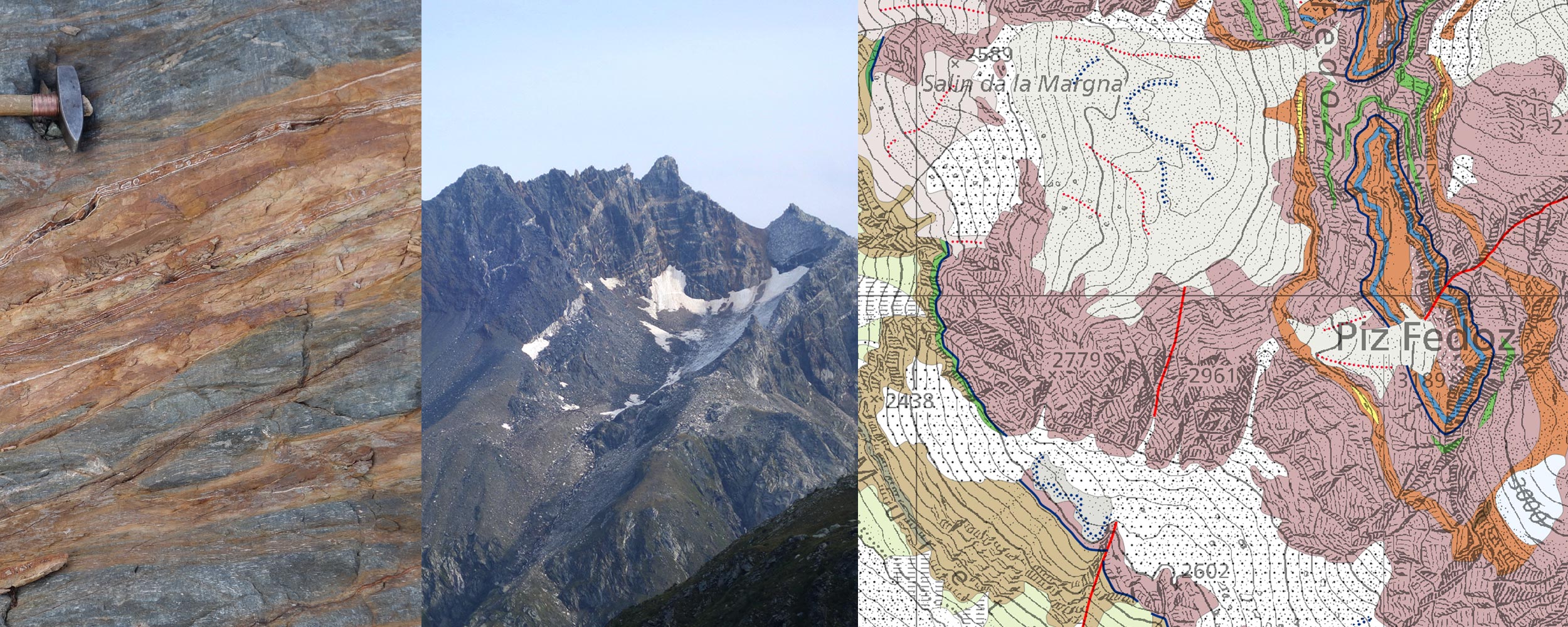
In this four-year mapping project, mandated by the Swiss Geological Survey (swisstopo), we are producing the new geological map sheets “Val Bregaglia” and «Campodolcino» (Geologischer Atlas der Schweiz 1:25’000, sheets 1275 & 1276) including the corresponding explanatory notes. The field area is located in the Central Alps in southeastern Switzerland (Bergell area). A main part of this project is to compile existing unpublished maps of the area. For that, more than 30 existing draft geological maps were scanned, georeferenced and merged into a GIS project. Based on these maps we developed a generalised legend of the more than 140 bedrock units. We are carrying out field work at selected locations to quality check the existing mapping results. Based on all these results, we are compiling and digitising the mapping products in the ToolMap software.


