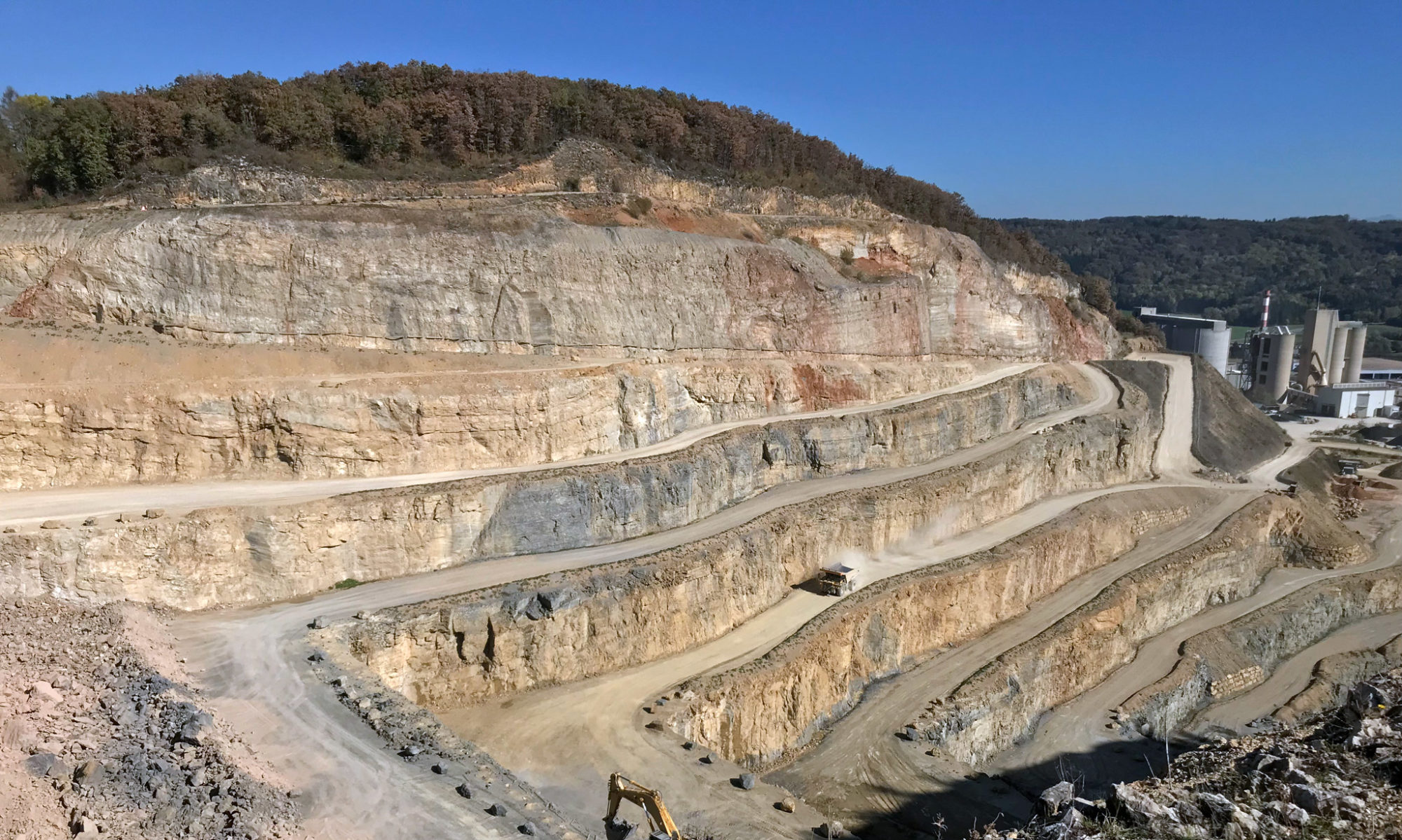
The Georesources Switzerland Group is part of the Department of Earth and Planetary Sciences at ETH Zurich and conducts applied research in collaboration with the Swiss Geological Survey (Federal Office of Topography swisstopo) as well as with other partners from industry and administration. We collect and compile fundamental geological data mainly related to the use of the geological resources of Switzerland. Main focus areas are the mineral resources of Switzerland (gravel, sand, clay, limestone, salt, gypsum, natural stone) as well as energy resources and reservoir rocks in the deep underground.
Applied Research Projects
Current applied research and service projects:
- New heat flow map of Switzerland: We compile the temperature and thermal conductivity data from boreholes in Switzerland and create a new heat flow map. » Learn more
- Calcined clays for sustainable concrete: We are producing an indication map for clay occurrences in perimeters of 50 km around the 6 cement production factories in Switzerland. » Learn more
- Geological evaluation of «Hartstein» units of Switzerland: We assess siliceous limestone, Flysch and Molasse sandstone units («Hartstein») used as raw material for the construction and maintenance of the national railway and road infrastructure. Key topics are volume estimates and visualisation of the spatial distribution of occurrences. » Learn more
- Critical raw materials (CRM) in Switzerland: We compile a summary report of the current state of knowledge about the Critical Raw Materials in Switzerland. » Learn more
- CO2-Plume Geothermal (CPG) potential in Switzerland: As part of a project consortium we are (co-) responsible for two work packages: (1) compiling and reassessing the (deep) subsurface data in Switzerland (mainly seismic and well data), and (2) evaluating the deep CCS potential (CO2 storage capacity volume) in Switzerland » Learn more
- SAPHYR III: We are supporting swisstopo with the third expansion of the SAPHYR database. This involves harmonising and integrating the data on the physical properties of rocks from the ETH Rock Physics and Mechanics Laboratory. » Learn more
- Cartographic earthquake risk visualisation: We support the Swiss Seismological Service in the production of earthquake occurrence and risk maps. » Learn more
- Geological mapping of map sheets «Val Bregaglia» and «Campodolcino»: we are producing the geological map sheets “Val Bregaglia” and the easternmost part of “Campodolcino” (Geologischer Atlas der Schweiz 1:25’000, sheets no. 1275 & 1276) including the corresponding explanatory notes. The field area is located in the Central Alps in SE Switzerland. » Learn more
- RIS update: We are updating the content and setup of our Resources Information System RIS. » Learn more
For the completed projects check out the project archive.
Georesources Data
The Resources Information System (RIS) is a freely accessible web portal providing data on occurrences and quarries of mineral resources of Switzerland. This includes data on gravel, sand, cement raw materials, brickyard raw materials, crushed stone, natural stone, gypsum and salt, all of which currently extracted in Switzerland. Furthermore, the RIS also contains data on currently not produced mineral resources like energy resources and metals.
The RIS point data originate from numerous surveys carried out by the Swiss Geotechnical Commission (SGTK) since its foundation in 1899. SGTK regularly compiled and published reports, maps and books on those georesources data of Switzerland. Since the 1980ies, such data were digitally recorded and migrated into different database systems. Since 2015, those data are transferred to the RIS making them public.
Among others, the RIS is aimed at persons looking for information on the actual and historic occurrences and extraction of mineral resources in Switzerland. The target audience includes the experts from administration, industry and educational institutions as well as interested laymen.
The RIS intends to give a comprehensive overview on the mineral resources of Switzerland. For that reason, small occurrences are documented that are not commerically extractable (e.g. manganese ores) as well as large, commercially important mineral deposits (e.g. cement raw materials).
The information density of these different raw material types is very heterogeneous by nature. For some occurrences (points) there is a lot of information available, for others there are only very few. Due to limited resources, not a all published data in the RIS could be verified and/or updated to the latest status. Thus, there are still some occurrences (points) with an outdated data status or with erroneous information.
The RIS is regularly adjusted with the web portal of the Federal Office of Topography swisstopo map.geo.admin.ch.
Teaching
Our team contributes to numerous courses on the georesources and the geology of Switzerland and is also primarily responsible for running some of these courses. This includes lectures, excursions and field courses of the Department of Earth and Planetary Sciences at ETH Zurich, but also of other departments or universities.
Department of Earth and Planetary Sciences (ETH Zürich)
- Integrated Earth Systems III
- Interpretation of Geological Maps I
- Earth Sciences Excursions I
- Geological Field Course II: Sedimentary Rocks
Department of Archaeology (University of Zurich) & Institute of Archaeological Sciences (University of Bern)
Publications
The Georesources Switzerland Group took over the archives of the former Swiss Geotechnical Commission (SGTK) in 2018. Listed below are publications by GSG but also selected products from the long-lasting (since 1899) publications series by SGTK.
Team
Scientific staff
Dr. Kevin Frings
Donat Fulda
Niklaus Kressig
Dr. Lukas Nibourel
Assistants
Irina Mayer

former team members and assistants:
Veronique Sieber
Anja Amrein
Maira Coray
Joël Morgenthaler
Sandra Grazioli
Isabel Schumacher
Dr. Gérard Perren
Dr. Regina Reber
Loïc Pierdona
Margrit Oertle
Gregor Zographos
Arsin Grünig
Learn more about the Georesources Switzerland Group:
Contact
Please consider that the we are using maps of the Federal Authorities map.geo.admin.ch for this site plan.
ETH Zurich
Department of Earth and Planetary Sciences
Georesources Switzerland Group
NO F 35
Sonneggstrasse 5
8092 Zurich
Switzerland
+41 44 632 37 28
Address list on the website of the Department of Earth and Planetary Sciences.


