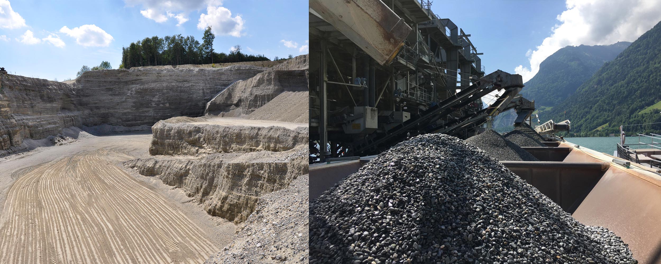
Quaternary deposits in Switzerland are fairly well known and mapped at the 1:25’000 scale. Dozens of regional and local companies extract more than 30 million tons of gravel and sand per year. Volume estimations of Swiss mineral resources were so far based on compilations of regional data from the cantons and the local producing industry. The absence of a country-wide, systematic resource assessment hampers reliable predictions of the national resources supply situation.
The aim of this project was to derive a methodology for the systematic assessment of Switzerland’s gravel and sand deposits. In doing so, we tested GIS-based tools that are applicable at a generalised level of detail, so that a methodology could later be applied area-wide across the country and deliver results relatively quickly.
We tested different approaches in a pilot study area, extracting gravel deposits from published and vectorised GeoCover 1 and 2 datasets. There, we evaluated various GeoCover 2 attributes of unconsolidated sediments to define the occurrence of gravel at the surface. In a second approach, we used vector data of the water table to calculate a continuous grid of the water table for the main aquifers. This helped us identify possible gravel bodies above the water table. In addition, the combination of these 2 approaches was tested so that one could later develop an automated GIS routine and verify our method.


